

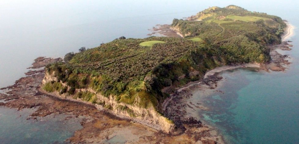
Restoring the flora and fauna on Motuora
It is our dream that future generations will enjoy a forest alive with native birds, reptiles and insects
This Hauraki Gulf island was once a farm but now, with the help of thousands of volunteers, a young forest is growing and with the translocation of birds, reptiles and insects the native ecosystem is rebuilding

The Society and the Department of Conservation are working together to make this dream a reality
Get involved
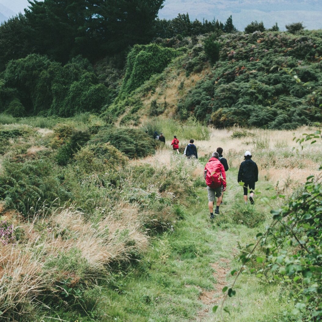
The reforesting of Motuora and the translocation of important animal species to Motuora depends on the hard work of volunteers coordinated by island management and fund raising activities of the Motuora Restoration Society in association with Department of Conservation and local iwi. So please get involved and help our efforts to restore the flora and fauna of Motuora.
You can help us by by becoming a member of the Motuora Restoration Society or by donating funds for our work. Also you can join a workday when they are scheduled. We will let you know our visit plans if you provide us with your e-mail address.
Want to hear about work trips and projects on the Island?
Sign up to receive our e-mail newsletters (three a year) and be added to our e-mail contacts when you’ll get notification of Island visits for working days